Find the Quiet Places! (Web-Map Home)
Use the web maps in this section of the site to find a wild trout stream you'd like to explore. We're rapidly expanding our web map coverage. If you can't find the area you're looking for, let us know. Or, check the Main Site for data you can download and use in Google Earth and other free tools.
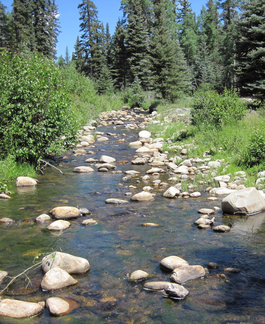
We don't guarantee that the fishing will be good for any given stream we've mapped (in fact, for most of these streams it will suck.) But for a few, it will be extraordinary. With a little experience, and a fair amount of exploration, you may discover which is which. And this may be one of the peak experiences of your life. An excerpt from my personal journal, that describes a Rio Grande Cutthroat stream I discovered in 2012 using a map we've now published here:
When I get on the stream, the 2-mile bushwhack is proven all worthwhile. The flow is wonderful, perhaps a touch low, but not bad at all. The stream averages 10-15' wide and is pretty open. Fly fisherman who are used to wide open western streams might have a problem, but this was no brushier than the streams I usually fish in NJ. I could see few signs of other fishermen... a footprint here or there. Really, it was clear that this stream is rarely fished by anyone...
This is a stream you normally can only dream about. There were an incredible number of fish. I can say without exception that a fish reacted to my fly in EVERY structure I fished. Not necessarily on the first cast (though most of the time then). But I had at least a "follow" on every pocket I fished, and usually a strike. I would say 90% of pockets converted to a "fish in hand". In the 90-120 minutes, I figure 30+ fish. Biggest was probably 10" -- 3 or so of that size. Another 10 or so were probably 8 or 9". The rest were 6 or 7". The larger fish were sporting the full regalia of a Rio Grande cutt: dark green back and rosy flanks and gill plate, with fine spotting on the back, enlarging toward the tail.
We recommend large screens and fast Internet connections. A pointing device is recommended: you can use the map in touch-screen devices, but you won't be able to access all of the data.
>>>> Check out the "Help" page.
It will take 30 seconds and save you some time
>>>> Click on any of the map tabs you see at the top of this page to get to a map (or select from the drop down list). Our goal is eventually to provide a map for 38 states, plus all of the native species we cover.
If you like what you see, please let us know by liking us on Facebook, or making a comment on our Facebook page. If you don't like it, we really want to hear from you so we can make it better! Click ContactUs to send us an email.
Enjoy!